Spokane River Centennial Trail
A paved river path from Nine Mile Falls through downtown to the Idaho line.
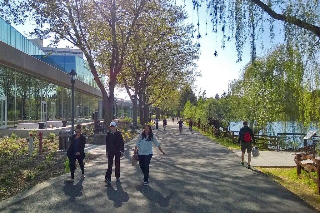
The Centennial Trail is the easiest way to see Spokane the way locals do. It is a paved path that follows the Spokane River for roughly 37 to 40 miles, depending on who is measuring, from the Nine Mile boat launch in the west, through downtown, past Gonzaga and Spokane Valley, to the Idaho state line.
You do not need to do all of it. Most visitors pick one stretch for an hour or two. The downtown section puts you next to the falls, the bridges and Riverfront Park. Farther west, the trail runs through Riverside State Park, where the river drops into a basalt canyon and the city feels far away.
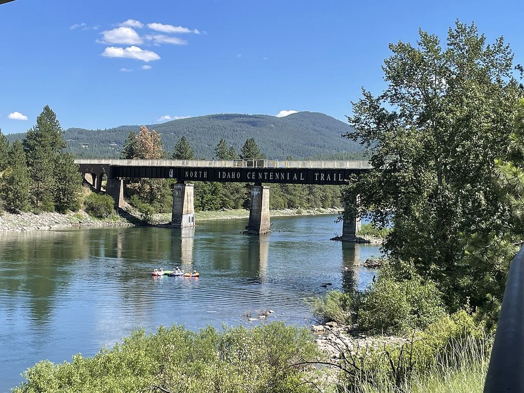
At the state line the trail connects to the North Idaho Centennial Trail, which continues east toward Lake Coeur d'Alene. Strong cyclists can ride from one state to the other in a day.
What to see and do
The most scenic urban mile or two. You pass the Spokane Falls, the clock tower and the Expo '74 pavilion, then cross the river on several pedestrian bridges. It is flat enough for almost anyone.
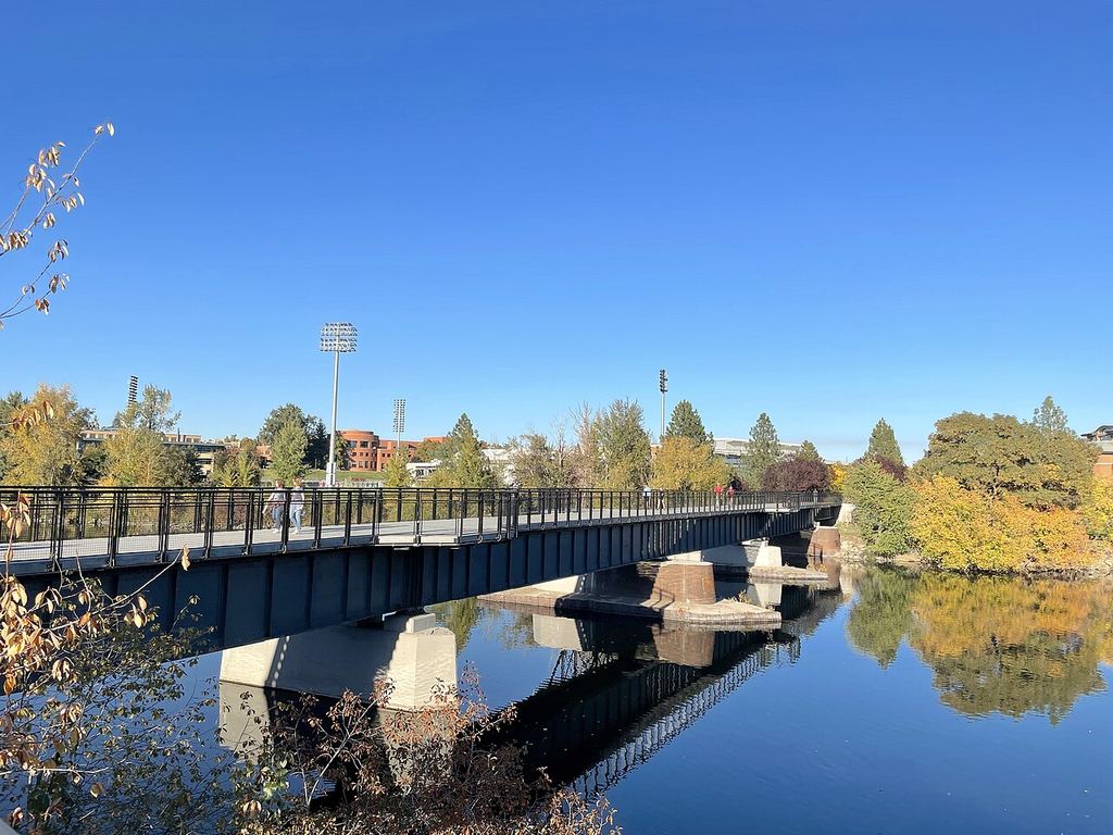
Named for the Olympic marathoner who founded Bloomsday, this bridge crosses the river in the University District. It is a handy turnaround point if you start at Riverfront Park and want a short out-and-back.
The trail runs beside Kendall Yards, a newer neighborhood with restaurants, a brewery and river views. It is a good place to plan a meal or a drink around your ride.
West of the city the path follows the river through pine forest and basalt. It is quieter than downtown and a good fit for a morning walk or ride. Check the trail's website first, since wildfire closures and detours have affected parts of this stretch.
East of downtown the trail passes through Spokane Valley and on toward Liberty Lake. It is mostly flat, with long open stretches that suit cyclists who want to cover some miles.
Near the state line the trail meets the North Idaho Centennial Trail. Reaching Idaho on a bike is a good bragging-rights goal for a full day of riding.
Local tips
- Start downtown at Riverfront Park. It has parking, restrooms and food nearby, and you can go either direction.
- Pick a segment instead of trying the whole trail. Two to four miles each way covers the best of downtown.
- The Friends of the Centennial Trail website has an interactive map showing trailheads, restrooms, parking and picnic areas. Look at it before you go.
- Check the same site for closures and detours. Wildfire damage and sewer work have both affected stretches in recent seasons.
- Bike rental options change. Some downtown hotels lend bikes to guests, but check current details with a shop or your hotel before counting on one.
- The trail is shared with walkers, runners, dog walkers and cyclists. Stay right, pass on the left and give a call out before passing.
- Summer afternoons get hot and the trail has limited shade in places. Ride in the morning or evening and carry water.
- Combine the trail with a meal. Kendall Yards and downtown have plenty of options within a block or two of the path.
A little history
The idea took shape after Expo '74, the world's fair that turned Spokane's railyards into Riverfront Park. Advocates wanted a riverside path, and by 1986 citizens from Washington and Idaho had widened the plan into a long trail to mark both states' centennials, Washington's in 1989 and Idaho's in 1990. Friends of the Centennial Trail, the nonprofit that still looks after it, was formed in 1986.
The trail was named a National Recreation Trail in 2010. Washington State Parks manages it as Centennial Trail State Park, and the Friends group says it sees more than 2.5 million visits a year.
Have a great photo of Spokane River Centennial Trail? Share it
We'd rather show the real thing than a stock shot. Send a photo you took or have the rights to and we'll credit you on this page.
Photos
Questions visitors ask
How long is the Centennial Trail?
Sources give roughly 37 to 40 miles, depending on how it is measured. It runs from the Nine Mile boat launch to the Idaho state line, where it connects to the North Idaho Centennial Trail.
Is the whole trail paved?
Yes, the main trail is paved and used for walking, running and cycling.
Where should a one-time visitor start?
Riverfront Park downtown. You get the falls, the bridges and plenty of places to eat, and you can stay on flat ground.
Can I rent a bike?
Rental availability changes, so check current details. Some downtown hotels lend bikes to guests, and local bike shops may have rentals.
Do I need a pass?
The trail itself is free. A Discover Pass may be required to park at certain state park trailheads, such as in Riverside State Park.
Can I really ride to Idaho?
Yes. The trail crosses the state line and links to the North Idaho Centennial Trail, which continues east toward Lake Coeur d'Alene.
More outdoors staples
 Park · South Hill (Manito / Cannon Hill)Manito ParkFive gardens, a conservatory and a duck pond on Spokane's South Hill, all free
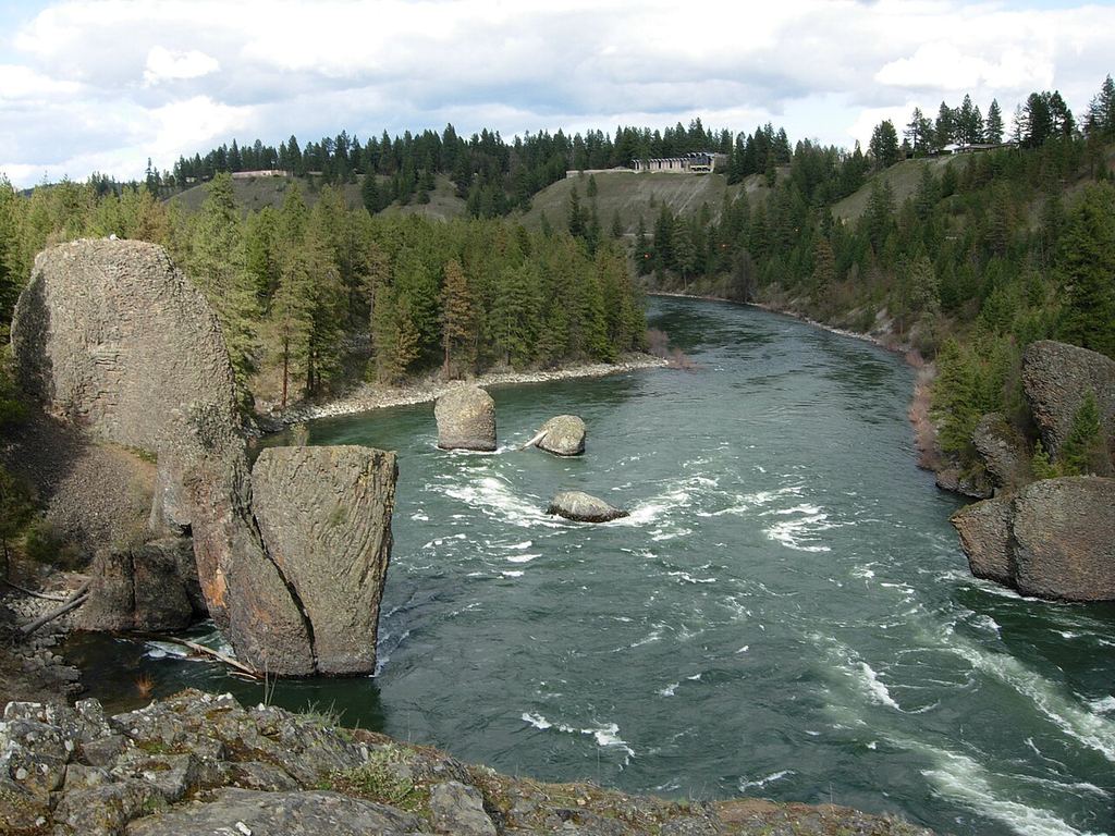 State park · Riverside State Park / northwest SpokaneBowl & Pitcher at Riverside State ParkWhitewater, basalt boulders and a swinging bridge, 15 minutes from downtown.
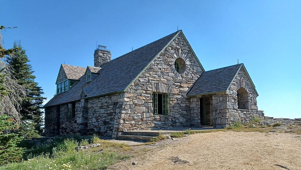 State park · Selkirk Mountains, northeast of SpokaneMount Spokane State ParkSummit views, huckleberries in summer and night skiing in winter.