Iller Creek & Dishman Hills
A local favorite loop to granite outcrops with views over the Palouse and Selkirks.
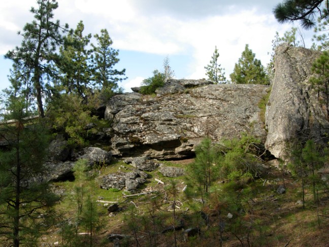
The Dishman Hills sit on the south edge of Spokane Valley, and locals use them the way people in other cities use a neighborhood park. Forest, creeks and granite outcrops are all within a short drive of town.
The best-known hike is the Iller Creek loop, about 5 miles with roughly 1,200 feet of climbing. It passes through shady forest, follows a creek, then climbs to the Rocks of Sharon, a ridge of big granite outcrops with open views.
From the top you look south toward the Palouse and north and east toward the Selkirk Mountains. It is a good half-day choice for visitors who want a real hike without a long drive.
What to see and do
A group of granite outcrops partway around the loop. They are a popular rock-climbing spot, and a good place to stop for a snack and the view.
The ridge gives you a look south over the Palouse and north and east to the Selkirks. Clear days are best.
The early and late parts of the loop run through shaded forest near Iller Creek. It is cooler than the open ridge on summer afternoons.
The Iller Creek trailhead is to the north and the Stevens Creek trailhead is to the south, so you can choose a route to suit your energy.
Spring brings wildflowers and green hillsides. It is the season locals like best before the summer heat sets in.
Local tips
- Most people hike the loop counterclockwise to get the steepest climbing done early.
- No Discover Pass is needed for the Dishman Hills, according to the Dishman Hills Conservancy. Check posted signs for current rules.
- Plan 2.5 to 3.5 hours for the 5-mile loop, including time at the top.
- Bring water and a snack. There is no water or services on the trail.
- Wear shoes with grip. The route includes rocky stretches near the outcrops.
- Go in the morning in summer. The ridge is exposed and the afternoon sun is strong.
- Stay on marked trails and respect the climbers on the rock, who may be using ropes.
- Tell someone where you are going and check the weather first.
A little history
The Dishman Hills Conservancy was founded in 1966 to protect this land from development, and the group marks its 60th anniversary in 2026. It now helps care for more than 3,200 acres in the greater Spokane area, working with Spokane County Parks and the Washington Department of Natural Resources.
The Iller Creek Conservation Area is one of the most visited pieces of that protected land. Volunteers and the Conservancy run planting days, guided walks and programs for kids.
Have a great photo of Iller Creek & Dishman Hills? Share it
We'd rather show the real thing than a stock shot. Send a photo you took or have the rights to and we'll credit you on this page.
Questions visitors ask
How long is the Iller Creek hike?
The popular loop is about 5 miles with around 1,200 feet of elevation gain.
What are the Rocks of Sharon?
A set of granite outcrops along the loop. They are a favorite for climbers and offer wide views.
Do I need a Discover Pass?
The Dishman Hills Conservancy says no Discover Pass is required for the Dishman Hills. Confirm on posted signs.
Where do I park?
The Iller Creek trailhead is at 9000 E Holman Rd. A second trailhead, Stevens Creek, is on the south side.
Is it good for a first-time visitor?
Yes, if you are comfortable with a moderate hike. It offers views and forest without a long drive from downtown.
Which direction should I go?
Most people go counterclockwise, which puts the steepest climbing early.
More outdoors staples
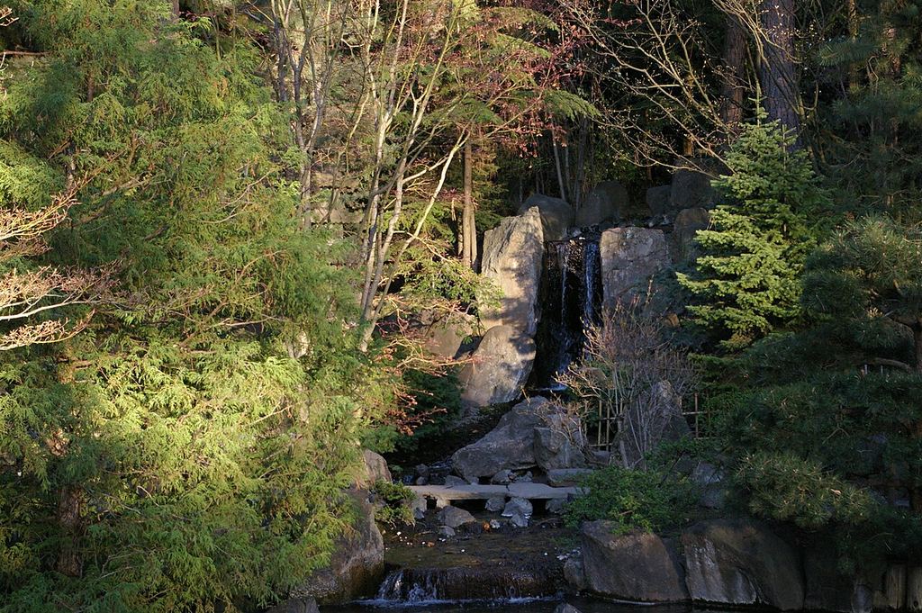 Park · South Hill (Manito / Cannon Hill)Manito ParkFive gardens, a conservatory and a duck pond on Spokane's South Hill, all free
 Trail · Riverfront Park / Spokane River corridorSpokane River Centennial TrailA paved river path from Nine Mile Falls through downtown to the Idaho line.
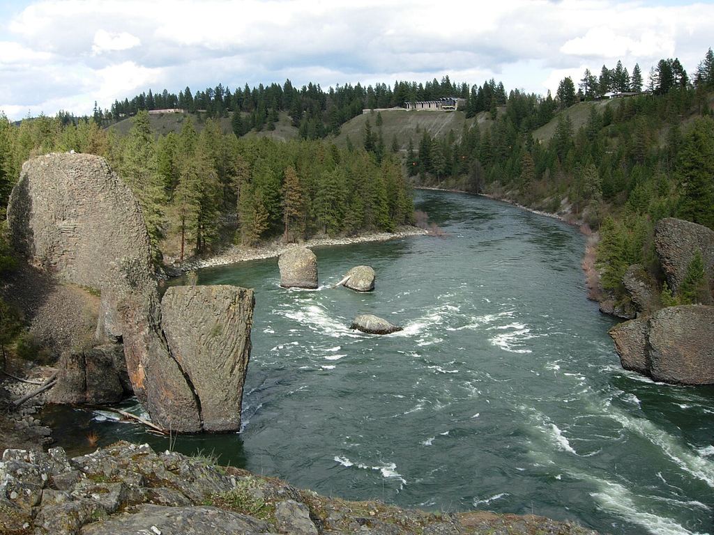 State park · Riverside State Park / northwest SpokaneBowl & Pitcher at Riverside State ParkWhitewater, basalt boulders and a swinging bridge, 15 minutes from downtown.